Comines-Warneton has a total of some 410 hectares of Natura 2000 areas and other natural sites. Numerous awareness-raising initiatives aim at preserving and developing the biodiversity of these sites, which are ideal for observing flora and fauna. Their ecological value is very valuable!
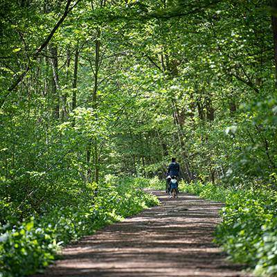
Bois du Gheer and Bois de la Hutte
Stretching over approximately 260 hectares, these woods constitute the largest wooded area between Lille and the Belgian coast. They are privately owned but criss-crossed by easily accessible communal paths which make it possible for visitors to appreciate this Natura 2000 ecological site, regardless the season. The chirping of birds, the fleeting sight of a deer or the agile motion of a squirrel will delight walkers who like the charms of this protected natural environment. Occupied by the British in 1914-18, Gheer wood still contains several shelters – often inconspicuous under the foliage. Three British cemeteries are silent witnesses of this tragic past. Not far from the British Memorial to the Missing, the ‘100 slabs’ of Mont de La Hutte provide access through the woods to Comines-Warneton’s highest point (63 m). The fairly steep climb up ‘Hill 63’ leads to a vast panorama over the Douve valley and the little town of Messines. End your walk with a visit to the Plugstreet 14-18 Experience Interpretation Centre.
“On the Paths of Remembrance”
A delightful little leaflet describing several memory-filled paths and their 19 educational panels on the First World War.
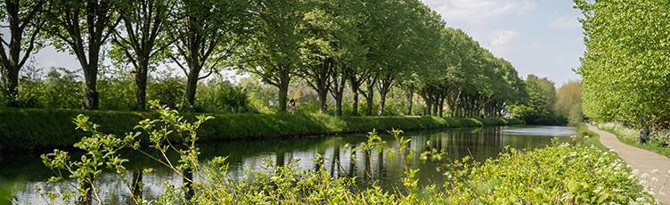
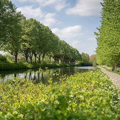
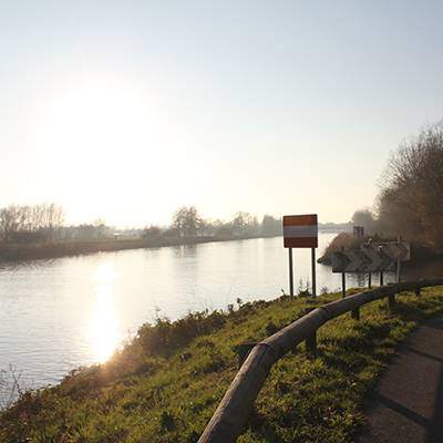
No boat ever passed through the locks of this ill-fated canal. The idea of digging a canal linking the Lys to the Yser took shape in 1863. But many setbacks thwarted the work: landslides, a collapsed bridge, crumbling banks… After the First World War, the Comines-Ypres canal became a historical relic! Today, it offers a fascinating diversity of flora and fauna: marshlands, reed beds, scrublands and grasslands. Its waters close to the river Lys attract many fishermen. Whether on foot, by bike or even on horseback, its surroundings are easily accessible. You can discover it by taking the RAVeL (autonomous network of slow ways)
Long ago, the river Lys was used for retting flax. It was nicknamed ‘Golden River’ because the colour of its water turned golden brown in September.
Picturesque and attractive
Its rural banks, wet meadows and meandering course benefit the biodiversity of flora and fauna. Its towpaths are ideal for cycling, walking or simply relaxation.
A biological corridor
The river Lys is a major bird migration route and a link between various biodiversity hubs.
Economic importance
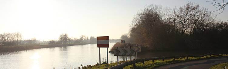
Thanks to the Seine-Escaut project, the canalised Lys is now a wide-gauge inland waterway that meets the economic challenges of our time.
More
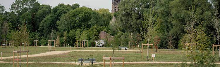
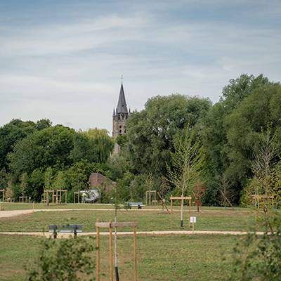
Parc des Prés de la Lys
This 7-hectare urban park offers a wide range of tourist attractions: area to relax and stroll, preservation of heritage and wetlands, picnic area, soft mobility … Created only recently (2022), its development is still in full swing. It also offers a magnificent view of the twin towns of Comines on both banks of the river Lys.
Coming up soon: camper parking space and playing area
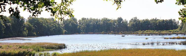
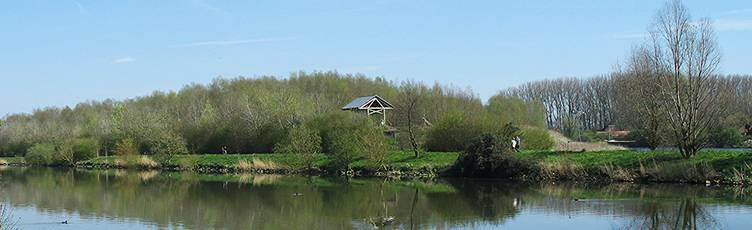
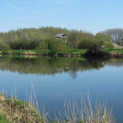
This paradise for birds and birdwatchers covers some 130 hectares of distinct biotopes, all of which originated from former clay pits: wooded areas, marshes, vast bodies of water and reed beds. All these areas are managed in such a way as to create a high level of biodiversity. More than 220 species of birds have been observed here. It is here also that the largest population of crested newts in Hainaut has been recorded. It is also the hunting ground for several rare species of bats. Fossil remains dating from the last ice age are regularly discovered in the clay pits. The entire site is privately owned by the Ploegsteert brickworks, but a wide path allows visitors to walk around the nature sanctuary. A shelter built on the edge of a pond is the ideal place to discretely observe birds at close range. A guided tour is organised on the 1st Sunday of every month (9:30).
Created when the Lys was brought into line with European standards, the Vert Digue stretches over the righted Lys and its cut-off meander. The excavated earth formed a 26-hectare plateau which, over time, became an island of greenery. Le Vert Digue offers great biodiversity. Its variety of habitats (open water, marshes, wet meadows, heathland, reed beds, willow groves, etc.) is conducive to nesting. A birdwatching station has been set up there. More recent developments have created areas known as ‘shallow waters’ in part of the meander cutoff to allow the development of aquatic and semi-aquatic flora and fauna and improve the biodiversity of this Natura 2000 site. Discover the charming little paths that run through the woods.
With the support of the Commissariat Général au Tourisme de la Région Wallonne, the Maison du Tourisme de la Picardie and the town of Comines-Warneton.